This product profile is currently unclaimed.
The listing is published on SaaSworthy, but the official vendor does not yet manage it. Are you part of the CARTO team? Claim this profile to manage and update your product information.
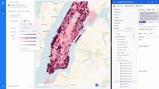
CARTO is a business intelligence software that turns location data into business outcomes. It specializes in using Location Intelligence to give you various insights into your business and helps your business grow. It gives you a visual display of a wealth of data sets right at your fingertips. With CARTO’s intuitive drag and drop interface, get access to geoanalytics and enhance the value of your business intelligence and analytics department. Crunching of data is easier than ever before, and that too, without the requirement of any GIS expert. CARTO lets you measure the ROI of your marketing campaign, carry out site planning and predict the performance of your sales force.
Read more


Pricing
SW Score Breakdown
Platforms Supported
Organization Types Supported
API Support
Modes of Support
Spatial Analysis
Supports manipulation of geographical data or imagery for better geovisualization in a different context, applications, and operationsMap Sharing
Allows exchanging the created maps with others for better collaborationMap Creation
Helps in creating maps using less effort and in less timeLabeling
Supports adding labels to certain items for its quick and easy identificationInteroperability
This feature enables the system to share resources with other system/software and make good use of the exchanged dataInternet Mapping
Allows to store and display Internet topological data in a systematic wayImage Exporting
Supports export of graphical data at different sizes and formatGeocoding
Enables users to convert an address into spatial data to find the coordinates of an address or placeColor Coding
Allows highlighting different significant information by using different colors for easy identificationCensus Data Integration
Helps to collect census data from multiple sources and display it in a unified form in a single databaseImage Management
Automates the graphical data management and monitoring tasks for easy accessibility3D Imagery
Supports stereoscopic imaging where a technique is used to record and display images by creating an illusion of depth in themFree Trial
Available
Small Custom
For Smaller Teams Looking for Advanced Spatial Analytics with Basic Enterprise Capabilities.
Features
Medium Custom
For Cross-functional Teams Running Analytics at Scale and Needing Standard Support.
Features
Strategic Custom
Customized Packages to Solve Complex Analytics in Larger Enterprises and Across Multiple Teams.
Features
Screenshots of Vendor Pricing Page
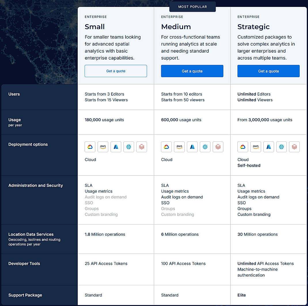
Learn more about CARTO Pricing
92% SW Score The SW Score ranks the products within a particular category on a variety of parameters, to provide a definite ranking system. Read more
87% SW Score The SW Score ranks the products within a particular category on a variety of parameters, to provide a definite ranking system. Read more
78% SW Score The SW Score ranks the products within a particular category on a variety of parameters, to provide a definite ranking system. Read more
95% SW Score The SW Score ranks the products within a particular category on a variety of parameters, to provide a definite ranking system. Read more
76% SW Score The SW Score ranks the products within a particular category on a variety of parameters, to provide a definite ranking system. Read more
92% SW Score The SW Score ranks the products within a particular category on a variety of parameters, to provide a definite ranking system. Read more
77% SW Score The SW Score ranks the products within a particular category on a variety of parameters, to provide a definite ranking system. Read more
92% SW Score The SW Score ranks the products within a particular category on a variety of parameters, to provide a definite ranking system. Read more
83% SW Score The SW Score ranks the products within a particular category on a variety of parameters, to provide a definite ranking system. Read more

What is CARTO? Di...
Introducing CARTO...
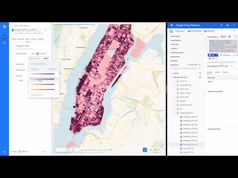
Demo of CARTO Goo...

Map Layers

SQL apply

Show and Hide

Create layer from...
What is CARTO used for?
CARTO is Geographic Information System Software. CARTO offers the following functionalities:
Learn more about CARTO features.
What are the top alternatives for CARTO?
Here`s a list of the best alternatives for CARTO:
Does CARTO provide API?
Yes, CARTO provides API.
Vendor Details
New York, New YorkSocial Media Handles
This research is curated from diverse authoritative sources; feel free to share your feedback at [email protected]
Looking for the right SaaS
We can help you choose the best SaaS for your specific requirements. Our in-house experts will assist you with their hand-picked recommendations.
Want more customers?
Our experts will research about your product and list it on SaaSworthy for FREE.