This product profile is currently unclaimed.
The listing is published on SaaSworthy, but the official vendor does not yet manage it. Are you part of the MapRight team? Claim this profile to manage and update your product information.
MapRight is a comprehensive online land mapping software that helps organisations and individuals to create and share interactive maps using the most current GIS technology available in the market. The maps created with MapRight contain relevant information regarding, soil, trees, zoning and tax criteria, that facilitates seamless business. Moreover, the software also comes equipped with an easy-to-use GIS system that consolidates multiple data sources, such as flood plains or school districts, enabling users to combine and organise them into a single map. Users can create simplified soil reports within seconds that contain all properties of that particular soil. Also, with MapRight’s deed plotting feature, organisations can draw out property-specific boundaries in a seamless manner. Thus enabling users to gain a clear understanding of the surrounding areas and modification parts if needed. Moreover, the software can also be used to create parcel maps that can be shared with anyone or matched with other GIS data to further enhance property management.
Read more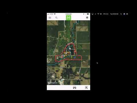

Pricing
SW Score Breakdown
Platforms Supported
Organization Types Supported
API Support
Modes of Support
Spatial Analysis
Supports manipulation of geographical data or imagery for better geovisualization in a different context, applications, and operationsMap Sharing
Allows exchanging the created maps with others for better collaborationMap Creation
Helps in creating maps using less effort and in less timeLabeling
Supports adding labels to certain items for its quick and easy identificationInternet Mapping
Allows to store and display Internet topological data in a systematic wayImage Management
Automates the graphical data management and monitoring tasks for easy accessibilityColor Coding
Allows highlighting different significant information by using different colors for easy identificationCensus Data Integration
Helps to collect census data from multiple sources and display it in a unified form in a single database3D Imagery
Supports stereoscopic imaging where a technique is used to record and display images by creating an illusion of depth in themInteroperability
This feature enables the system to share resources with other system/software and make good use of the exchanged dataImage Exporting
Supports export of graphical data at different sizes and formatGeocoding
Enables users to convert an address into spatial data to find the coordinates of an address or placeFree Trial
Not available
Flex Plan (Single User) $9.00 $9.00 per month
$9 per Map per month
Features
Unlimited (Single User) $39.00 $39.00 per user / month
Features
Small Group (Group Plans) $29.00 $29.00 per user / month
$29 per Map per month
Features
Corporate (Group Plans) $360.00 $360.00 per user / year
Features
Screenshots of Vendor Pricing Page
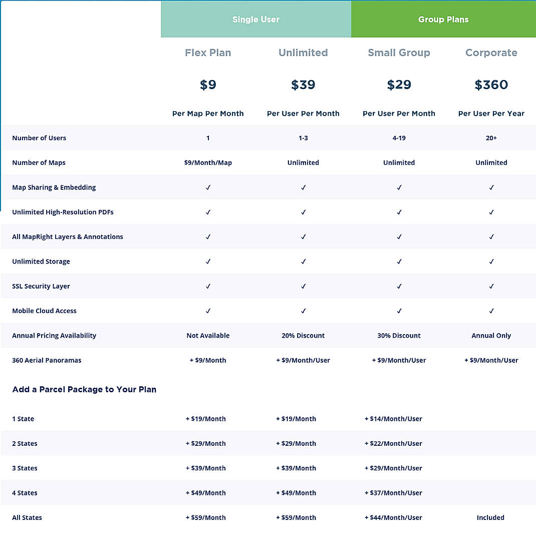
Disclaimer: The pricing details were last updated on 01/04/2021 from the vendor website and may be different from actual. Please confirm with the vendor website before purchasing.
Learn more about MapRight Pricing
78% SW Score The SW Score ranks the products within a particular category on a variety of parameters, to provide a definite ranking system. Read more
86% SW Score The SW Score ranks the products within a particular category on a variety of parameters, to provide a definite ranking system. Read more
87% SW Score The SW Score ranks the products within a particular category on a variety of parameters, to provide a definite ranking system. Read more
76% SW Score The SW Score ranks the products within a particular category on a variety of parameters, to provide a definite ranking system. Read more
73% SW Score The SW Score ranks the products within a particular category on a variety of parameters, to provide a definite ranking system. Read more
80% SW Score The SW Score ranks the products within a particular category on a variety of parameters, to provide a definite ranking system. Read more
93% SW Score The SW Score ranks the products within a particular category on a variety of parameters, to provide a definite ranking system. Read more
73% SW Score The SW Score ranks the products within a particular category on a variety of parameters, to provide a definite ranking system. Read more
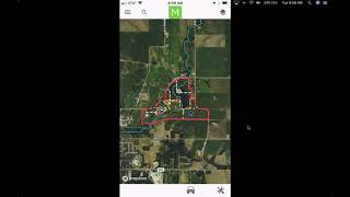
How To Use a Shar...

MapRight Mobile -...
What is MapRight used for?
MapRight is Geographic Information System Software. MapRight offers the following functionalities:
Learn more about MapRight features.
What are the top alternatives for MapRight?
Here`s a list of the best alternatives for MapRight:
Does MapRight provide API?
No, MapRight does not provide API.
Vendor Details
Dallas, Texas Founded : 2014Social Media Handles
This research is curated from diverse authoritative sources; feel free to share your feedback at [email protected]
Looking for the right SaaS
We can help you choose the best SaaS for your specific requirements. Our in-house experts will assist you with their hand-picked recommendations.
Want more customers?
Our experts will research about your product and list it on SaaSworthy for FREE.
