This product profile is currently unclaimed.
The listing is published on SaaSworthy, but the official vendor does not yet manage it. Are you part of the ZeeMaps team? Claim this profile to manage and update your product information.
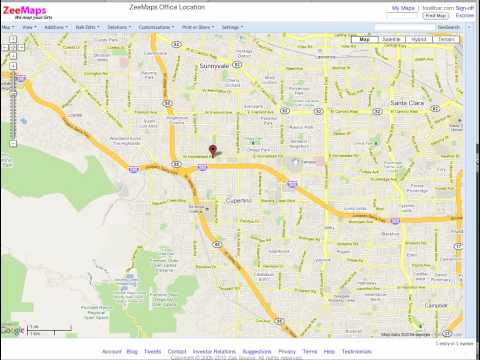
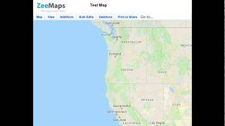
ZeeMaps is a smart map creation platform that enables you to create and distribute interactive maps and graphics for analysis and presentations. It offers you three levels of access for each map: admin, member, and viewer. With ZeeMaps, you can use multiple sources of data like Microsoft Excel, Georss stream, location(search), KML, crowd source, CSV, Google Spreadsheets or copy-and-paste to make maps. You can add custom fields to map entries that can be searched and use map pictures in PDF or PNG format for presentations or brochures. You can add video, picture, or audio with your markers and even your own photos as marker icons. You get Google traffic overlays in real time and the maps are compatible with all smartphones and tablets. You can combine all of your regional data and highlight cities, counties, countries, zip codes, states, or a hand-drawn territory on your map. With the help of a robust editing grid, you can keep track of your map entries. Additionally, you get a multi-point course optimizer for time or distance with ZeeMaps.
Read more
Pricing
SW Score Breakdown
Platforms Supported
Organization Types Supported
API Support
Modes of Support
Spatial Analysis
Supports manipulation of geographical data or imagery for better geovisualization in a different context, applications, and operationsMap Sharing
Allows exchanging the created maps with others for better collaborationMap Creation
Helps in creating maps using less effort and in less timeImage Management
Automates the graphical data management and monitoring tasks for easy accessibilityImage Exporting
Supports export of graphical data at different sizes and formatGeocoding
Enables users to convert an address into spatial data to find the coordinates of an address or placeColor Coding
Allows highlighting different significant information by using different colors for easy identification3D Imagery
Supports stereoscopic imaging where a technique is used to record and display images by creating an illusion of depth in themLabeling
Supports adding labels to certain items for its quick and easy identificationInteroperability
This feature enables the system to share resources with other system/software and make good use of the exchanged dataInternet Mapping
Allows to store and display Internet topological data in a systematic wayCensus Data Integration
Helps to collect census data from multiple sources and display it in a unified form in a single databaseFree Trial
Not available
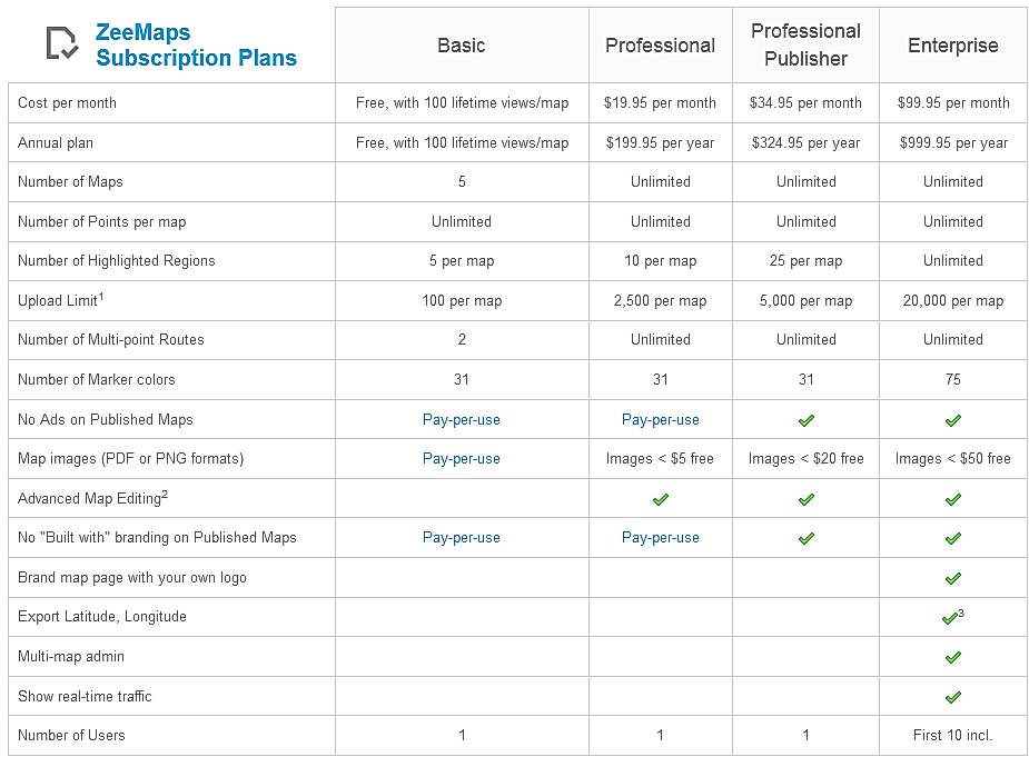
Basic Free
Features
Professional $16.66 $19.95 per month
Features
Professional Publisher $27.07 $34.95 per month
Features
Enterprise $83.32 $99.95 per month
Features
Screenshots of Vendor Pricing Page
Disclaimer: The pricing details were last updated on 31/03/2021 from the vendor website and may be different from actual. Please confirm with the vendor website before purchasing.
Learn more about ZeeMaps Pricing
77% SW Score The SW Score ranks the products within a particular category on a variety of parameters, to provide a definite ranking system. Read more
92% SW Score The SW Score ranks the products within a particular category on a variety of parameters, to provide a definite ranking system. Read more
83% SW Score The SW Score ranks the products within a particular category on a variety of parameters, to provide a definite ranking system. Read more
86% SW Score The SW Score ranks the products within a particular category on a variety of parameters, to provide a definite ranking system. Read more
92% SW Score The SW Score ranks the products within a particular category on a variety of parameters, to provide a definite ranking system. Read more
78% SW Score The SW Score ranks the products within a particular category on a variety of parameters, to provide a definite ranking system. Read more
77% SW Score The SW Score ranks the products within a particular category on a variety of parameters, to provide a definite ranking system. Read more
80% SW Score The SW Score ranks the products within a particular category on a variety of parameters, to provide a definite ranking system. Read more
76% SW Score The SW Score ranks the products within a particular category on a variety of parameters, to provide a definite ranking system. Read more

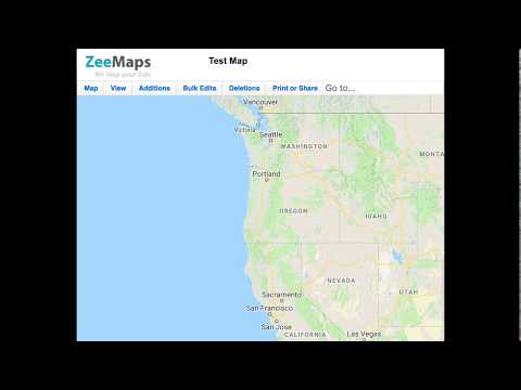
Introduction to Z...
How to Map a Spre...
Create and Publis...
What is ZeeMaps used for?
ZeeMaps is Geographic Information System Software. ZeeMaps offers the following functionalities:
Learn more about ZeeMaps features.
What are the top alternatives for ZeeMaps?
Here`s a list of the best alternatives for ZeeMaps:
Does ZeeMaps provide API?
No, ZeeMaps does not provide API.
Vendor Details
Cupertino, CaliforniaSocial Media Handles
This research is curated from diverse authoritative sources; feel free to share your feedback at [email protected]
Looking for the right SaaS
We can help you choose the best SaaS for your specific requirements. Our in-house experts will assist you with their hand-picked recommendations.
Want more customers?
Our experts will research about your product and list it on SaaSworthy for FREE.
