ArcGIS Online |
78% SW Score The SW Score ranks the products within a particular category on a variety of parameters, to provide a definite ranking system. Read more
Visit Website
|
98% SW Score The SW Score ranks the products within a particular category on a variety of parameters, to provide a definite ranking system. Read more
Visit Website
|
| Description | Geoblink is a location management platform that helps businesses to maximise their performance by offering them a 360º view of the factors that impacts site performance. The platform assists professionals to solve their daily challenges throughout the retail value chain starting from their location. With GeoBlink, users can open their retail stores at the right location from which they get the maximum sales. The platform allows users to centralise their tools and business data so they can easily visualize and monitor their performance from a single place. The data provided comes enriched with Geoblink’s premium location data, to offer a full context of what is happening around the business sites. It automatically notifies all the team members about the problems and opportunities across their network to apply the right measures. Companies can customise their action plan by site, involve the right people to perform the task besides remodelling their product mix. Read more | This GIS software can offer custom digital maps online for websites and applications. You can turn location address into coordinates with the help of its geocoding feature. With Mapbox, you will get store locator, turn-by-turn navigation and data visualization facilities, on-demand logistics etc. You can import CSV or GeoJSON files. The Mapbox Studio Classic export tool supports high resolution image exports. It supports augmented reality and it can power location-based AR games. Users will get detailed data on the streets worldwide backed by the OpenStreetMap community. OpenStreetMap features most detailed street datasets globally. It supports image management and spatial analysis. Read more |
| Pricing Options |
|
|
| SW Score & Breakdown |
78% SW Score The SW Score ranks the products within a particular category on a variety of parameters, to provide a definite ranking system. Read more
|
98% SW Score The SW Score ranks the products within a particular category on a variety of parameters, to provide a definite ranking system. Read more
|
| Total Features |
6 Features
|
10 Features
|
| Common Features for All |
3D Imagery
Census Data Integration
Color Coding
Geocoding
Image Exporting
Image Management
Labeling
Map Creation
Map Sharing
Spatial Analysis
|
3D Imagery
Census Data Integration
Color Coding
Geocoding
Image Exporting
Image Management
Labeling
Map Creation
Map Sharing
Spatial Analysis
|
| Organization Types Supported |
|
|
| Platforms Supported |
|
|
| Modes of Support |
|
|
| API Support |
|
|
| User Rating |
Not Available
|
|
| Ratings Distribution |
Not Available
|
|
| Read All User Reviews | Read All User Reviews |
AI-Generated from the text of User Reviews
| Pricing Options |
|
|
|
Pricing Plans
Monthly Plans
Annual Plans
|
Essential Custom Pro Custom Premium Custom |
Session & User Free API Free Developer (Support Plans) Free Essential (Support plans) $50.00 $50.00 per month Business (Support Plans) Custom Premium (Support plans) Custom |
|
View Detailed Pricing
|
View Detailed Pricing
|
|
|
|
|
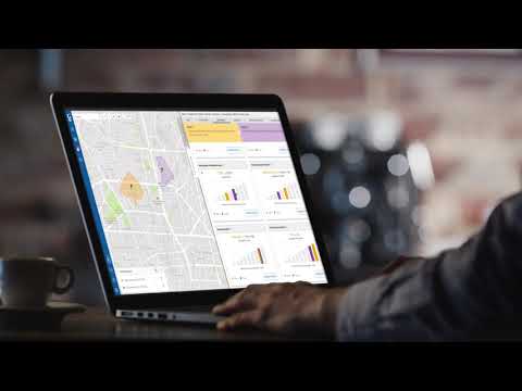
| Screenshots |

+ 6 More
|
![Maps fresh off the [Word]press](http://images.saasworthy.com/tr:w-201.59,h-142.27,c-at_max,e-sharpen-1/mapbox_1979_screenshot_1580729432_9h4o7.png)
+ 1 More
|
| Videos |
|
+ 2 More
|
| Company Details | Located in: London, United Kingdom - SE1 7SJ | Located in: San Francisco, California |
| Contact Details |
+44 7864721688 https://www.geoblink.com/ |
Not available https://www.mapbox.com/ |
| Social Media Handles |
|
|
Looking for the right SaaS
We can help you choose the best SaaS for your specific requirements. Our in-house experts will assist you with their hand-picked recommendations.
Want more customers?
Our experts will research about your product and list it on SaaSworthy for FREE.


![Maps fresh off the [Word]press](http://images.saasworthy.com/tr:w-864,h-368,c-at_max,e-sharpen-1/mapbox_1979_screenshot_1580729432_9h4o7.png)

![Maps fresh off the [Word]press](http://images.saasworthy.com/tr:w-84,h-84,c-at_max,e-sharpen-1/mapbox_1979_screenshot_1580729432_9h4o7.png)
