Mapbox |
88% SW Score The SW Score ranks the products within a particular category on a variety of parameters, to provide a definite ranking system. Read more
Visit Website
|
78% SW Score The SW Score ranks the products within a particular category on a variety of parameters, to provide a definite ranking system. Read more
Visit Website
|
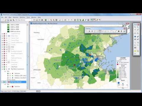
| Description | This cloud-based geographical information software can also be considered as a location intelligence software. Maptitude is loaded with almost all significant and useful GIS features to enhance its utility value. It supports creation of highly interactive maps that you can easily share as well for better collaboration with your team members. In addition to image management & exporting, Maptitude also features 3D imagery and spatial analysis. Color coding and labelling enables you to spot desired items on maps quicker. Geocoding and census data integration capabilities accentuate its efficiency. Internet mapping is possible with Maptitude. Trade area analysis is possible. Read more | 21stCenturyGIS gives the power to process and interpret imagery, create maps and analyze data in an easy way, understanding geographical relationships, and developing a decision support systems. 21stCenturyGIS simplifies image processing and interpretation, while maintaining the integrity of geo-spatial data. Read more |
| Pricing Options |
|
|
| SW Score & Breakdown |
88% SW Score The SW Score ranks the products within a particular category on a variety of parameters, to provide a definite ranking system. Read more
|
78% SW Score The SW Score ranks the products within a particular category on a variety of parameters, to provide a definite ranking system. Read more
|
| Total Features |
12 Features
|
9 Features
|
| Common Features for All |
3D Imagery
Census Data Integration
Color Coding
Geocoding
Image Exporting
Image Management
Internet Mapping
Interoperability
Labeling
Map Creation
Map Sharing
Spatial Analysis
|
3D Imagery
Census Data Integration
Color Coding
Geocoding
Image Exporting
Image Management
Internet Mapping
Interoperability
Labeling
Map Creation
Map Sharing
Spatial Analysis
|
| Organization Types Supported |
|
|
| Platforms Supported |
|
|
| Modes of Support |
|
|
| API Support |
|
|
| User Rating |
|
Not Available
|
| Ratings Distribution |
|
Not Available
|
| Review Summary |
Overall, users find the software easy to use and powerful for mapping and data analysis tasks. They appreciate the wide range of features, customization options, and the ability to handle large datasets. However, some users have reported occasional technical glitches and a steep learning curve for advanced functions. Additionally, the pricing structure may not be suitable for small businesses or individuals with limited budgets. |
Not Available
|
| Read All User Reviews | Read All User Reviews |
AI-Generated from the text of User Reviews
| Pricing Options |
|
|
|
Pricing Plans
Monthly Plans
Annual Plans
|
Desktop $695.00 $695.00 One Time Payment Remote Desktop $995.00 $995.00 One Time Payment Enterprise $9,995.00 $9,995.00 One Time Payment Online Private Sharing $420.00 $420.00 One Time Payment Online Public Sharing $1,050.00 $1,050.00 One Time Payment |
21stCenturyGIS Custom |
|
View Detailed Pricing
|
View Detailed Pricing
|
|
|
|
|
| Videos |
+ 2 More
|
Not Available |
| Company Details | Located in: Suite, Massachusetts | Located in: Kolkata. India |
| Contact Details |
+1 617-527-4700 https://www.caliper.com/maptovu.htm |
+91-9830379812 https://www.21stcenturygis.org/ |
| Social Media Handles |
|
Not available |
Looking for the right SaaS
We can help you choose the best SaaS for your specific requirements. Our in-house experts will assist you with their hand-picked recommendations.
Want more customers?
Our experts will research about your product and list it on SaaSworthy for FREE.