Mapbox |
78% SW Score The SW Score ranks the products within a particular category on a variety of parameters, to provide a definite ranking system. Read more
Visit Website
|
90% SW Score The SW Score ranks the products within a particular category on a variety of parameters, to provide a definite ranking system. Read more
Visit Website
|
| Description | Geoblink is a location management platform that helps businesses to maximise their performance by offering them a 360º view of the factors that impacts site performance. The platform assists professionals to solve their daily challenges throughout the retail value chain starting from their location. With GeoBlink, users can open their retail stores at the right location from which they get the maximum sales. The platform allows users to centralise their tools and business data so they can easily visualize and monitor their performance from a single place. The data provided comes enriched with Geoblink’s premium location data, to offer a full context of what is happening around the business sites. It automatically notifies all the team members about the problems and opportunities across their network to apply the right measures. Companies can customise their action plan by site, involve the right people to perform the task besides remodelling their product mix. Read more | Scribble Maps software is a web mapping visualization tool deployed to make custom widgets, maps and images. It is an ultimate tool for students, amateurs, militaries, and government corporations. The API allows users to incorporate Scribble map straightly into their application and quickly collaborate with their team to share their custom maps and automate workflows. It compresses the upgraded editing tools like formatting, overlaying, and security options. Moreover, it also elucidates maps to analyze and filter data, process routes, plot territories, and more. It additionally enables users to download files, modify the map, and easily edit details on the overlay panel with gamma, lighting, and saturation features according to their requirements and save them on the archive folders. Users can also publish their maps to their blog or website in a minute. Scribble Maps is optimal software for the teams administered to manage and generate a large number of maps. Small and midsize businesses opt for this software due to its flexibility. Read more |
| Pricing Options |
|
|
| SW Score & Breakdown |
78% SW Score The SW Score ranks the products within a particular category on a variety of parameters, to provide a definite ranking system. Read more
|
90% SW Score The SW Score ranks the products within a particular category on a variety of parameters, to provide a definite ranking system. Read more
|
| Total Features |
6 Features
|
9 Features
|
| Common Features for All |
3D Imagery
Census Data Integration
Color Coding
Geocoding
Image Exporting
Image Management
Internet Mapping
Labeling
Map Creation
Map Sharing
Spatial Analysis
|
3D Imagery
Census Data Integration
Color Coding
Geocoding
Image Exporting
Image Management
Internet Mapping
Labeling
Map Creation
Map Sharing
Spatial Analysis
|
| Organization Types Supported |
|
|
| Platforms Supported |
|
|
| Modes of Support |
|
|
| API Support |
|
|
| User Rating |
Not Available
|
|
| Ratings Distribution |
Not Available
|
|
| Review Summary |
Not Available
|
Scribble Maps is generally well-received by users, earning praise for its ease of use, comprehensive features, and helpful customer support. Reviewers highlight the intuitive interface and user-friendly design, making it accessible to users of all skill levels. The platform's diverse range of templates, icons, and customization options allows users to create visually appealing and informative maps. Additionally, Scribble Maps integrates seamlessly with popular platforms like Google Maps and Google Sheets, enhancing its functionality and versatility. While some users mention occasional glitches or technical issues, the overall sentiment is positive, with many reviewers expressing satisfaction with the product and recommending it to others. |
| Read All User Reviews | Read All User Reviews |
AI-Generated from the text of User Reviews
| Pricing Options |
|
|
|
Pricing Plans
Monthly Plans
Annual Plans
|
Essential Custom Pro Custom Premium Custom |
Free Free Pro Basic $14.00 $19.00 per month Pro Business $90.00 $100.00 per month |
|
View Detailed Pricing
|
View Detailed Pricing
|
|
|
|
|
| Screenshots |

+ 6 More
|
Not Available |
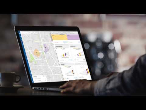
| Videos |
|

+ 1 More
|
| Company Details | Located in: London, United Kingdom - SE1 7SJ | Located in: Ontario, Canada |
| Contact Details |
+44 7864721688 https://www.geoblink.com/ |
+1 866 670 7527 https://www.scribblemaps.com/ |
| Social Media Handles |
|
|
Looking for the right SaaS
We can help you choose the best SaaS for your specific requirements. Our in-house experts will assist you with their hand-picked recommendations.
Want more customers?
Our experts will research about your product and list it on SaaSworthy for FREE.


