Mapbox |
76% SW Score The SW Score ranks the products within a particular category on a variety of parameters, to provide a definite ranking system. Read more
Visit Website
|
76% SW Score The SW Score ranks the products within a particular category on a variety of parameters, to provide a definite ranking system. Read more
Visit Website
|
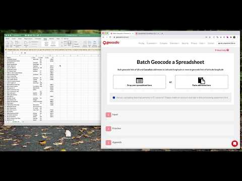
| Description | Geocodio has easy-to-use tools like spreadsheet upload and an API, friendly restriction-free terms of use, affordable pay-as-you-go pricing with a generous free tier, and a truly unlimited option for high-volume needs. Save time by appending other data points you need, like Congressional districts and timezones. Read more | With ArcGIS Schematics you can model, design, and view any kind of network, from social and economic networks to electric power, traffic light, rail, and more. It provides key features like diagrams automatically, schematic views, graphic representations and much more. Read more |
| Pricing Options |
|
|
| SW Score & Breakdown |
76% SW Score The SW Score ranks the products within a particular category on a variety of parameters, to provide a definite ranking system. Read more
|
76% SW Score The SW Score ranks the products within a particular category on a variety of parameters, to provide a definite ranking system. Read more
|
| Total Features |
3 Features
|
5 Features
|
| Common Features for All |
Census Data Integration
Color Coding
Geocoding
Image Exporting
Labeling
Map Creation
Map Sharing
|
Census Data Integration
Color Coding
Geocoding
Image Exporting
Labeling
Map Creation
Map Sharing
|
| Organization Types Supported |
|
|
| Platforms Supported |
|
|
| Modes of Support |
|
|
| API Support |
|
|
| User Rating |
|
|
| Rating Distribution |
|
|
| Read All User Reviews | Read All User Reviews |
AI-Generated from the text of User Reviews
| Pricing Options |
|
|
|
Pricing Plans
Monthly Plans
Annual Plans
|
Pay as You Go Custom Unlimited Geocoding $1,000.00 $1,000.00 per month |
ArcGIS Schematics Custom |
|
View Detailed Pricing
|
View Detailed Pricing
|
|
ArcGIS Instant Apps
5 Based on 1 Ratings |
ArcGIS 3D Analyst
4.4 Based on 29 Ratings |
|
| Screenshots |

|
Not Available |
| Videos |
+ 2 More
|
Not Available |
| Company Details | Located in: Arlington, Virginia Founded in: 2014 | Located in: Redlands, California Founded in: 1969 |
| Contact Details |
Not available https://www.geocod.io/ |
1-800-447-9778 https://www.esri.com/en-us/arcgis/products/arcgis-schematics/overview |
| Social Media Handles |
|
Not available |
Looking for the right SaaS
We can help you choose the best SaaS for your specific requirements. Our in-house experts will assist you with their hand-picked recommendations.
Want more customers?
Our experts will research about your product and list it on SaaSworthy for FREE.

