Mapbox |
88% SW Score The SW Score ranks the products within a particular category on a variety of parameters, to provide a definite ranking system. Read more
Visit Website
|
86% SW Score The SW Score ranks the products within a particular category on a variety of parameters, to provide a definite ranking system. Read more
Visit Website
|
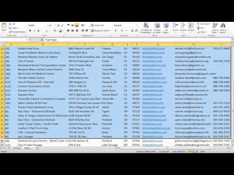
| Description | BatchGeo is a data map-making tool that offers companies the fastest way to create Google Maps with their data. It is an intuitive tool where Excel documents can be converted into interactive maps with just a click of a button. The dynamic thumbnail versions of these maps can be included on users’ websites so that customers can quickly preview the map and the associated link. BatchGeo is capable of converting open data available in tabular format to Google maps so that it can be read easily. To create data maps in simplified formats, users can break and divide the entire data into groups. These groups make it easy for users to find the required data quickly, by filtering out the unwanted information. The data maps created with BatchGeo also help companies to make data analysis, just like they do with the data present in the form of charts and graphs. Also, with this tool, users can map customers, suppliers, leads and other data to simplify their various business processes. Read more | ZeeMaps is a smart map creation platform that enables you to create and distribute interactive maps and graphics for analysis and presentations. It offers you three levels of access for each map: admin, member, and viewer. With ZeeMaps, you can use multiple sources of data like Microsoft Excel, Georss stream, location(search), KML, crowd source, CSV, Google Spreadsheets or copy-and-paste to make maps. You can add custom fields to map entries that can be searched and use map pictures in PDF or PNG format for presentations or brochures. You can add video, picture, or audio with your markers and even your own photos as marker icons. You get Google traffic overlays in real time and the maps are compatible with all smartphones and tablets. You can combine all of your regional data and highlight cities, counties, countries, zip codes, states, or a hand-drawn territory on your map. With the help of a robust editing grid, you can keep track of your map entries. Additionally, you get a multi-point course optimizer for time or distance with ZeeMaps. Read more |
| Pricing Options |
|
|
| SW Score & Breakdown |
88% SW Score The SW Score ranks the products within a particular category on a variety of parameters, to provide a definite ranking system. Read more
|
86% SW Score The SW Score ranks the products within a particular category on a variety of parameters, to provide a definite ranking system. Read more
|
| Total Features |
7 Features
|
8 Features
|
| Common Features for All |
3D Imagery
Color Coding
Geocoding
Image Exporting
Image Management
Internet Mapping
Map Creation
Map Sharing
Spatial Analysis
|
3D Imagery
Color Coding
Geocoding
Image Exporting
Image Management
Internet Mapping
Map Creation
Map Sharing
Spatial Analysis
|
| Organization Types Supported |
|
|
| Platforms Supported |
|
|
| Modes of Support |
|
|
| User Rating |
|
|
| Ratings Distribution |
|
|
| Read All User Reviews | Read All User Reviews |
AI-Generated from the text of User Reviews
| Pricing Options |
|
|
|
Pricing Plans
Monthly Plans
Annual Plans
|
BatchGeo Pro $99.00 $99.00 per month |
Basic Free Professional $16.66 $19.95 per month Professional Publisher $27.07 $34.95 per month Enterprise $83.32 $99.95 per month |
|
View Detailed Pricing
|
View Detailed Pricing
|
|
|
|
|
| Videos |
|
+ 2 More
|
| Company Details | Located in: Portland, Oregon | Located in: Cupertino, California |
| Contact Details |
Not available https://batchgeo.com/ |
+1 408-914-2955 https://www.zeemaps.com/ |
| Social Media Handles |
|
|
Looking for the right SaaS
We can help you choose the best SaaS for your specific requirements. Our in-house experts will assist you with their hand-picked recommendations.
Want more customers?
Our experts will research about your product and list it on SaaSworthy for FREE.